MacOS // // Graphics Editors // //
Avenza Geographic Imager for Adobe Photoshop
Avenza Geographic Imager for Adobe Photoshop
Free Download Avenza Geographic Imager for Adobe Photoshop 6 full version standalone offline installer for macOS, it is used to make working with spatial imagery quick and efficient.
Overview of Avenza Geographic Imager for Adobe Photoshop 6
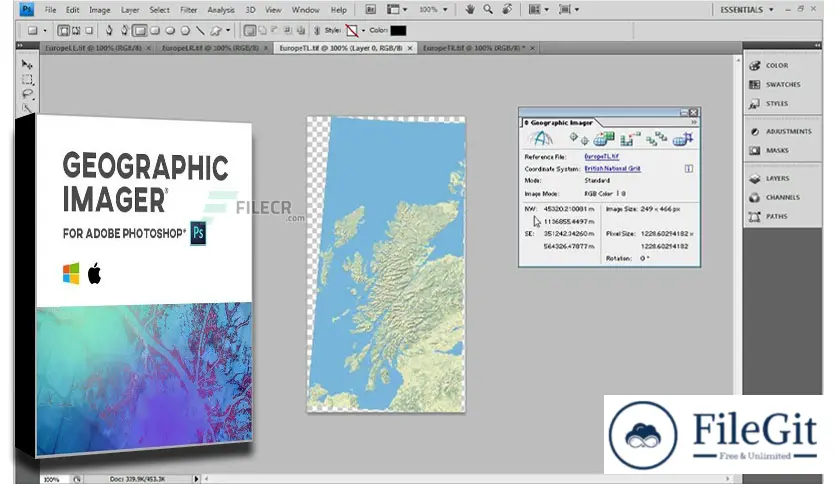
This Geographic Imager mapping software enhances Adobe Photoshop to make working with spatial imagery quick and efficient. It adds tools to import, edit, manipulate and export geospatial images such as aerial and satellite imagery.
Enjoy the use of native Adobe Photoshop functions such as transparencies, filters, pixel editing, and image adjustments like brightness, contrast, and curve controls while maintaining spatial referencing.
Features of Avenza Geographic Imager for Adobe Photoshop 6
- Extensive Geospatial Image Support
- True Spatial-Awareness
- Accurate Map Projections
- Mosaic Like a Pro
- Dynamically Control DEM Shading
- Export, Share, Use easily
Technical Details and System Requirements
- 2 GHz or faster Intel Pentium 4 processor (Intel Core 2 Duo or better recommended)
- 4 GB RAM (8 GB or higher recommended)
- 300 MB of available hard-disk space for installation
- 1024×768 display (1280×800 recommended)
Previous version
File Name: Avenza Geographic Imager for Adobe Photoshop 6.3 macOS
Version: 6.3
File Information
| File Name | Avenza Geographic Imager for Adobe Photoshop 6.3 macOS |
| Created By | Avenza Systems |
| License Type | full_version |
| version | 6.3 |
| Uploaded By | Kamel |
| Languages | English |
| Total Downloads | 0 |
Previous version
File Name: Avenza Geographic Imager for Adobe Photoshop 6.3 macOS
Version: 6.3

